Capture Big Waves Crashing Onto the Shore of Tung Lung Chau
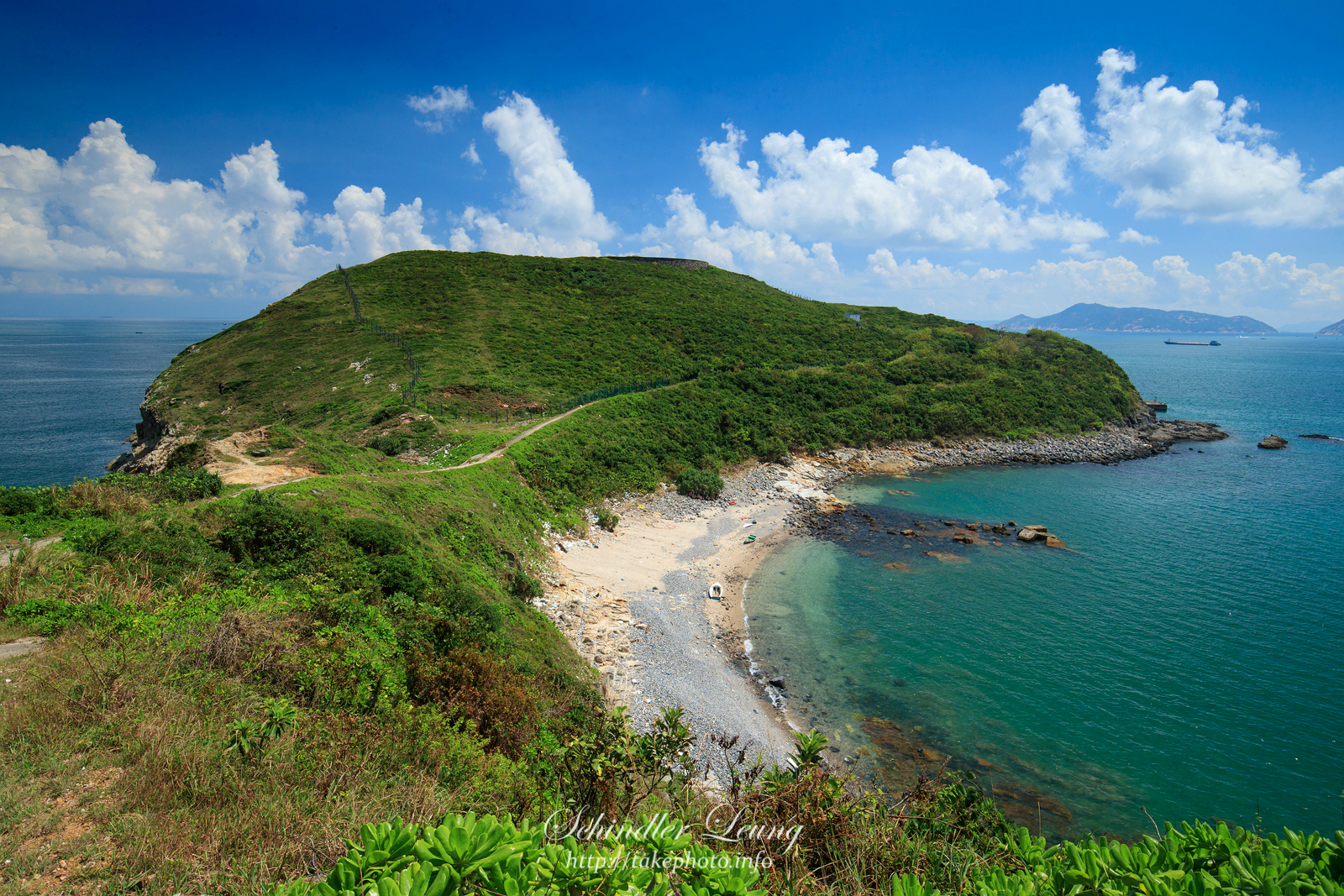
Tung Lung Chau, also known as Tung Lung Island or Nam Tong Island, houses many naturally formed sea caves. Villagers there used to call these caves as “holes”, and this is how the island got its name as the pronunciation is similar in Cantonese. Tung Lung Chau is the southernmost island in the Sai Kung district, and is located off the southern tip of Clear Water Bay Peninsula. Although with only an area of 2.42 km2, the island offers many natural landscapes, ranging from spectacular scenes of waves crashing onto the cliffy shore to beautiful views of Clear Water Bay Peninsula. It is thus a popular location for rock climbing and camping in Hong Kong.
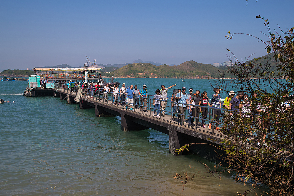
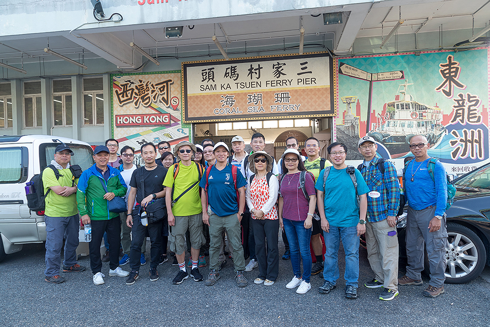
To visit, we can take the regular kaito ferry from Sam Ka Tsuen at Lei Yue Mun or Sai Wan Ho. Be reminded that the kaito ferry service only operates on Saturday, Sunday and public holidays. Also check the time for the last ferry back when you plan the trip. For more information about the kaito ferry service, please refer to the Transport Department website: http://www.td.gov.hk/en/transport_in_hong_kong/public_transport/ferries/service_details/index.html. We joined the instructor and participants of Landscape Photography Course this time and departed from Sam Ka Tsuen Ferry Pier to explore the beauty of Tung Lung Chau.
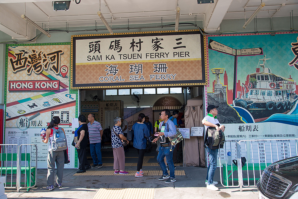
Take kaito ferry at Sam Ka Tsuen Ferry Pier
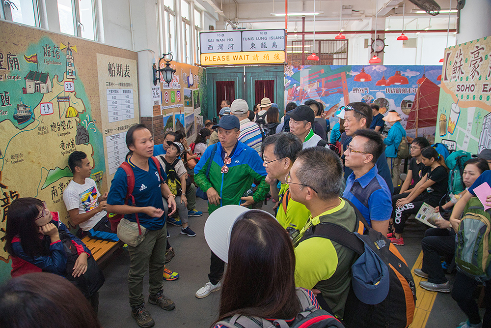
Before departure, our instructor briefed us on the itinerary and photographic topics of this photo trip
The outing day was gloriously sunny and perfect for outdoor photography
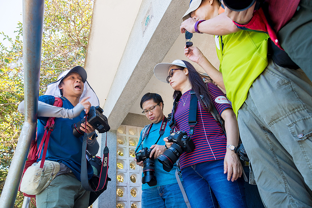
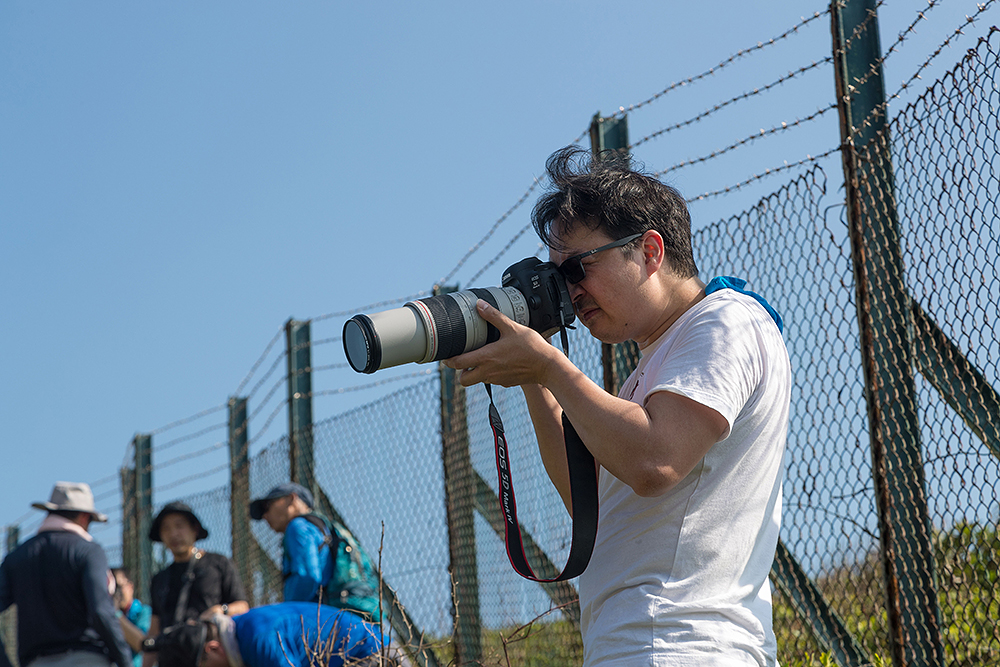
Our instructor recapped what’s learnt in class with participants prior to arriving at the scenic spots, such as the basic camera settings for different topics and the actual tactics on how to determine the aperture and shutter speed
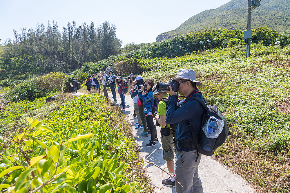
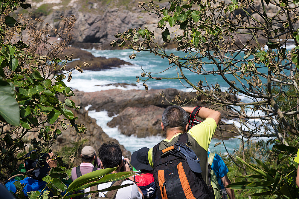
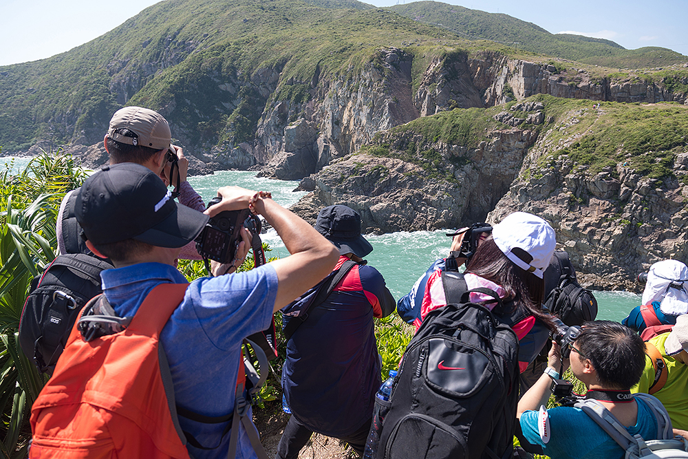
Arriving at the scenic spot. Participants were all busy practicing
On such a sunny day like this, attaching a Circular Polarizing Filter to the lens front can capture a bluer sky. A Circular Polarizing Filter utilizes a dual-lens-element design. Simply turn the front lens element until the colors are at their brightest and press the shutter to take a photo. Bear in mind that a Circular Polarizing Filter works best only when the camera is positioned at 90° to the light source (the sun) - i.e. when the light source is right above the camera. A reminder from the instructor was that we had to turn the filter by 90° if we wanted to take a vertical shot after a horizontal one.
By using a Circular Polarizing Filter, it’s easier to capture a blue sky. If you prefer stronger and more saturated colors, you can lower the exposure compensation value by either EV-0.5 or EV-1 to make the brightest part slightly dimmer
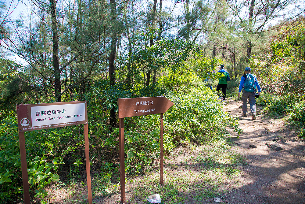
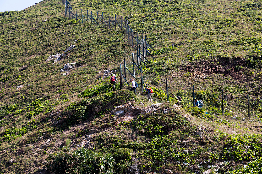
After about 30-minute walk from the pier, we arrived at the famous scenic spot Tung Lung Fort
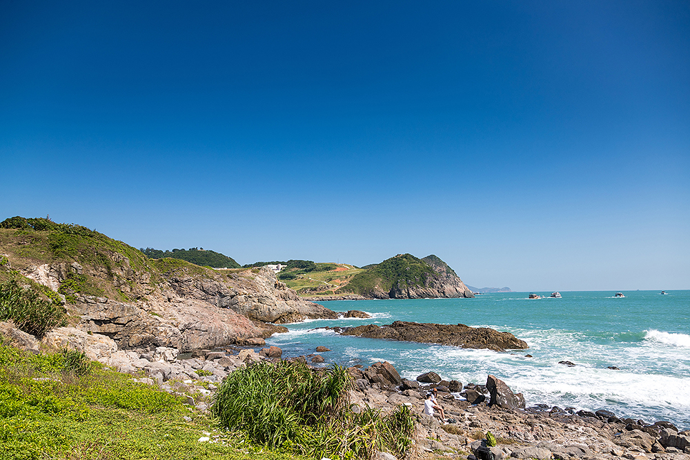
After Tung Lung Fort and a section of walk uphill, we arrived at the rocky cliff where we took photos of waves crushing onto the shore
Pay attention to the direction of light when photographing the rocky cliff. It’s better to use front or side lighting. The shadows on the rocks can show you the direction of light
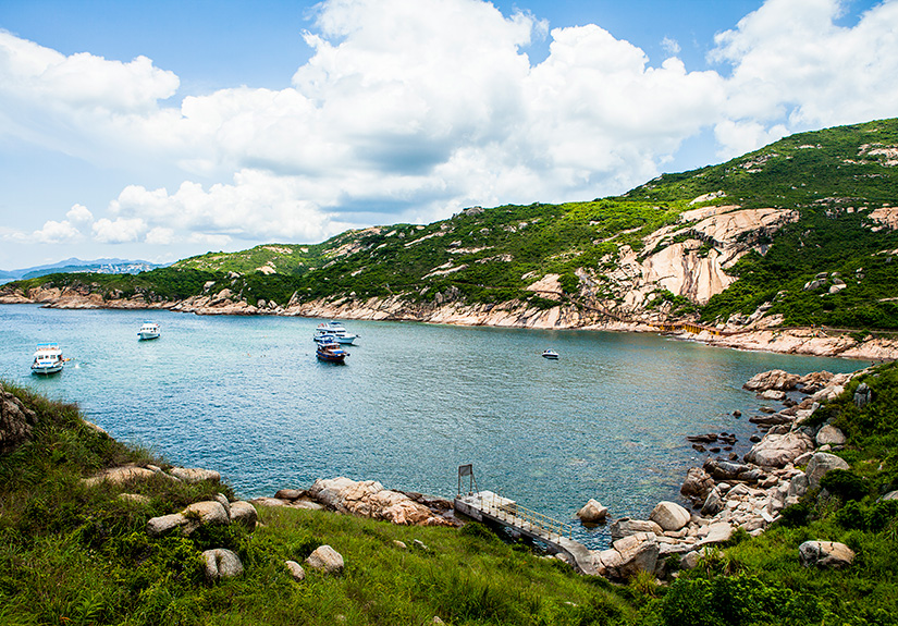
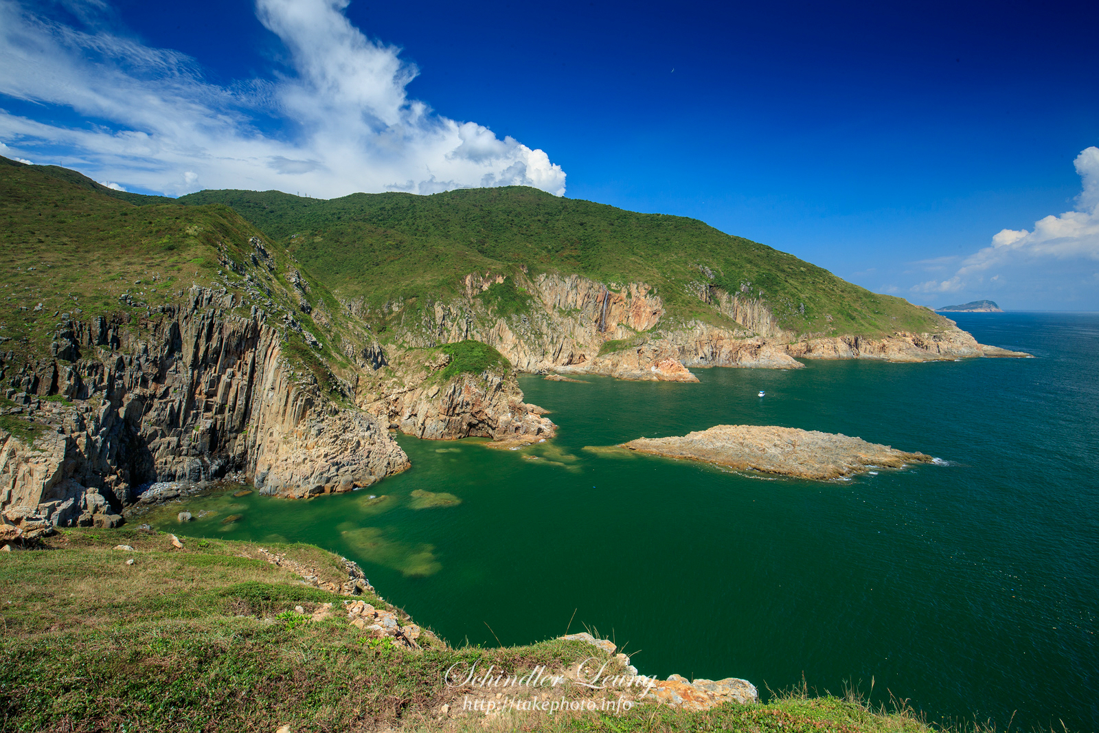
Our instructor led us to the top of the hill, where we could photograph Luk Keng Wan from the best angle
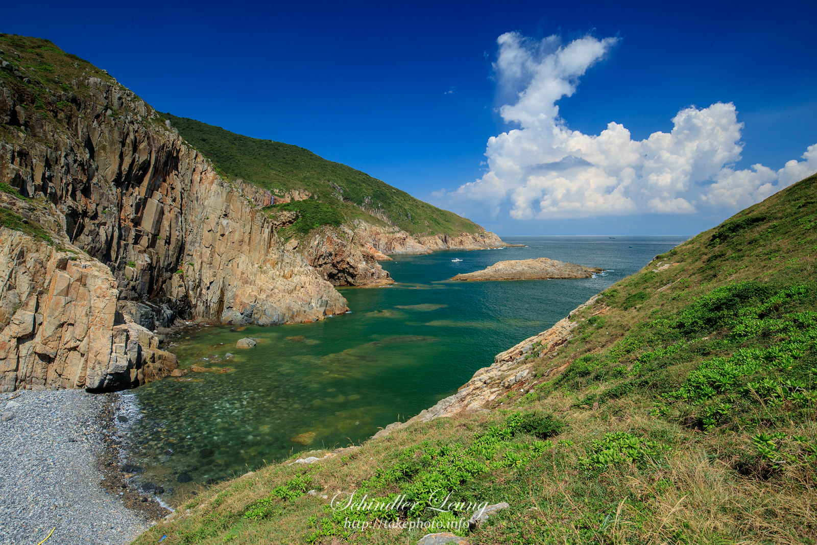
The unobstructed view from the stone beach behind Luk Keng Wan
Discover something different by taking a feature landscape shot with a telephoto zoom lens
Want to explore the various beautiful locations in Hong Kong and learn about the useful tips, techniques and equipment for landscape photography from professional photographers? Check out the latest course information now!
Course Details
Course Details