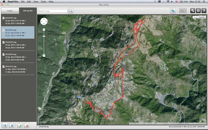
After using the GPS logger function in GPS Receiver GP-E2 or EOS 6D, you have to import the log file into Map Utility in order to display the recorded route on map.
Import log file from GPS Receiver GP-E2
Import log file from EOS 6D
1. The imported log file will be stored in the below location of your computer:
Windows: My Documents\Canon Utilities\GPS Log Files
Mac OS: Documents>Canon Utilities>GPS Log Files |
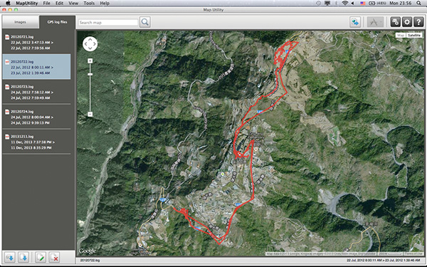
2. You can fine tune the display of recorded route according to the satellite reception status::
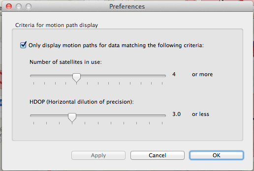
Number of satellites in use
Display data points which received signals from number of satellites you specified or more. In theory, more number of satellites in use means high location precision. However, the number of data points will decrease at the same time, which results in incomplete route. Recommended setting is 4 or 5
HDOP(Horizontal dilution of precision)
HDOP indicates the effect of GPS satellites position and distribution to location precision. A lower HDOP value means a higher location precision. But if the HDOP is set too low (e.g. 1), data points matching the criterion will reduce significantly and make the route incomplete. Recommended setting is 2 to 3
|
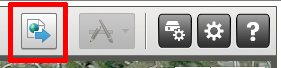
3. You can also export the log file in to .kmz file compatible to Google Earth in Map Utility.
 |